Why Coastal Sea Rise and Eroding Beaches Are Bad News for San Francisco
Text and photos by Jennifer Lu
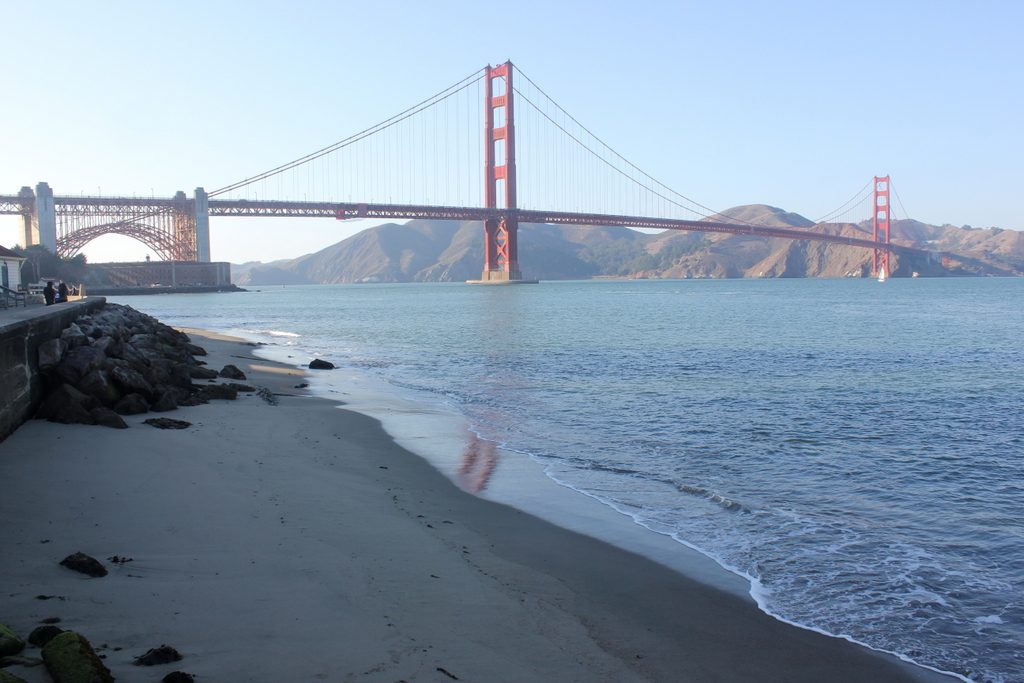
A view of the Golden Gate Bridge in San Francisco. Beneath the bay lie some of the largest underwater sand dunes in the world.
San Francisco’s Ocean Beach is famous for its surfable waves. But it’s the sand beneath the bay that grabs Patrick Barnard’s attention.
The underwater sand dunes, called sand waves, are some of the largest in the world. They rise up to 33 feet high and span up to two football fields long between peaks. Hidden from view, the dunes buffer and protect one of the most vulnerable stretches of California’s coastline from erosion and flooding.
“It’s the lifeblood of the beach,” said Barnard, a geologist with the U.S. Geological Survey, during a 30 October field trip at the World Conference of Science Journalists 2017.
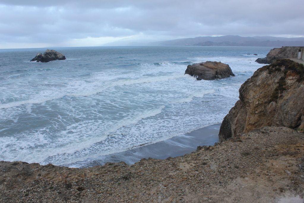
A view of the bluffs behind the Cliff House, on the northern tip of Ocean Beach in San Francisco.
Barnard and scientists at the Institute for Earth Systems Science and Policy at California State University study how the powerful currents flowing through the mouth of San Francisco Bay move and shape these sand dunes.
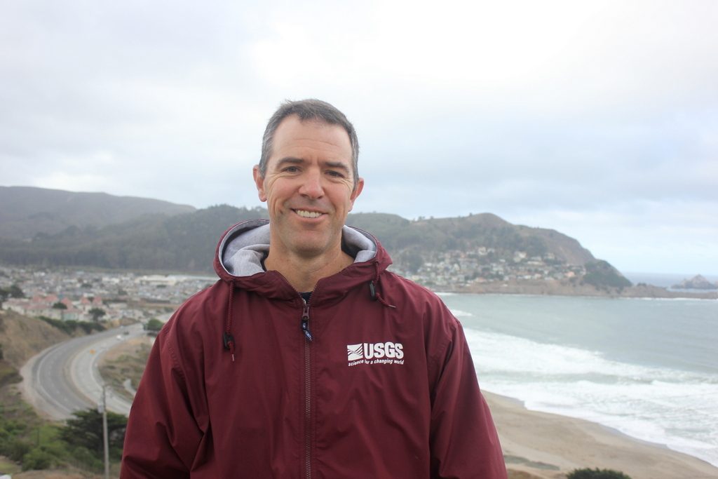
Geologist Patrick Barnard at Roberts Road overlook. Behind him is a view of Pacifica State Beach and the city of Pacifica, one of the cities most vulnerable to flooding from sea level rise—especially when combined with an extreme storm.
“It’s like the Bermuda triangle out there,” said Barnard, who monitors the surf and the sand every three months. “If you fall off your jet ski, it feels like you’re going to be gone.”

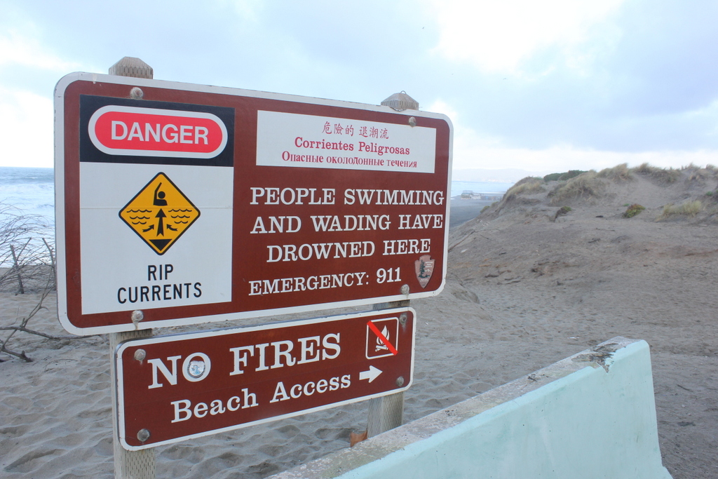
Although Ocean Beach is a popular surfing location, the powerful tides threaten swimmers.
Surveys of Ocean Beach, a 5.5–kilometer stretch of sand between western San Francisco and the Pacific Ocean, show that the shoreline is shifting. Due to the currents, the northern corner is getting wider while the southern stretch is eroding.
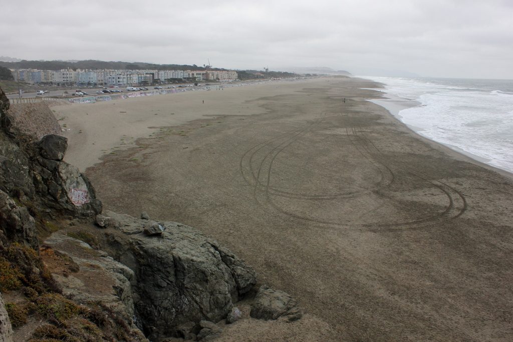
The view from Cliff House at Ocean Beach. As sand gets washed away, the beach’s southern tip, on the horizon, has been tapering off.
A short swath of sand separates the Pacific Ocean from the city of San Francisco at the southern point of the beach.
Sea level rise of one meter by 2100 could bring the ocean right to the road, Barnard said.
“This beach doesn’t have 50 meters to retreat.”
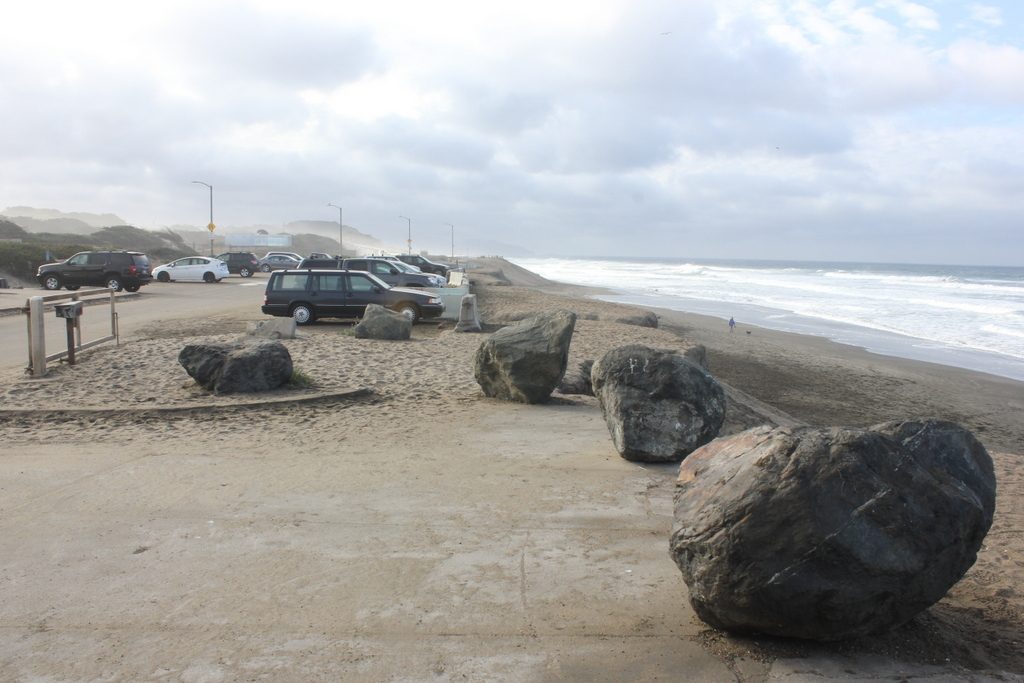
A view from the parking lot on the southern end of Ocean Beach, where the sand is eroding the fastest.
This leaves all the infrastructure beyond Ocean Beach at risk of flooding—including a $200 million pipeline feeding into a $1 billion wastewater treatment plant. The plant handles one-third of the city’s sewage.
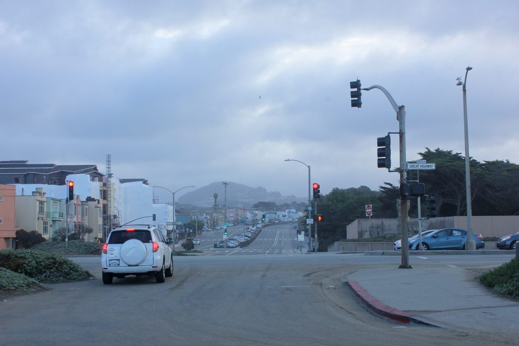
San Francisco lies behind Great Highway, which runs parallel to Ocean Beach. Two lanes on the highway already have been shifted inland due to flooding.
An El Niño event could put San Francisco’s coastal infrastructure underwater much sooner. A winter exacerbated by El Niño weather patterns, and the warmer ocean temperatures they bring, could make the waves eroding the beach 50 percent bigger.
San Francisco Bay has had approximately 105 million cubic meters of sand wash away since 1956. At the same time, the amount of sand replenishing the bay has decreased due to damming of the Sacramento and San Joaquin rivers.
Dredging in the bay for sand, a raw material in concrete, has made the situation worse.
While a short-term solution might be to build out the beaches, Barnard called it a temporary fix. One big storm could wash the sand barrier away.
“In some cases,” he said, “the longer–term solution is to get out of the way.”
—
Jennifer Lu is an environmental journalist based in Washington D.C. She studied data and investigative journalism at the University of Missouri and has a background in biochemistry.